Carte
Utiliser cette image
Puis-je réutiliser cette image sans autorisation? Oui
Les images sur le portail de la collection d’Ingenium ont la licence Creative Commons suivante :
Copyright Ingenium / CC BY-NC-ND (Attribution-NonCommercial 4.0 International (CC BY-NC 4.0)
ATTRIBUER CETTE IMAGE
Ingenium,
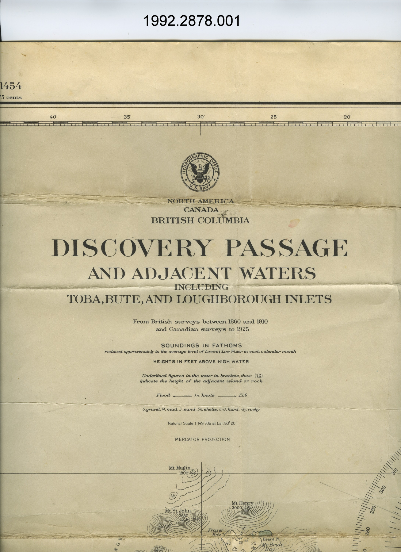
1992.2878.001
Permalien:
Ingenium diffuse cette image sous le cadre de licence Creative Commons et encourage son téléchargement et sa réutilisation à des fins non commerciales. Veuillez mentionner Ingenium et citer le numéro de l’artefact.
TÉLÉCHARGER L’IMAGEACHETER CETTE IMAGE
Cette image peut être utilisée gratuitement pour des fins non commerciales.
Pour un usage commercial, veuillez consulter nos frais de reproduction et communiquer avec nous pour acheter l’image.
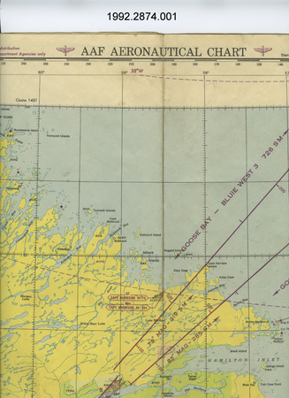
- TYPE D’OBJET
- Marine navigational
- DATE
- 1951
- NUMÉRO DE L’ARTEFACT
- 1992.2878.001
- FABRICANT
- U.S. Navy Hydrographic Office
- MODÈLE
- Discovery Passage & Adjacent Waters
- EMPLACEMENT
- Washington, District of Columbia, United States of America
Plus d’information
Renseignements généraux
- Nº de série
- S/O
- Nº de partie
- 1
- Nombre total de parties
- 1
- Ou
- S/O
- Brevets
- S/O
- Description générale
- paper
Dimensions
Remarque : Cette information reflète la taille générale pour l’entreposage et ne représente pas nécessairement les véritables dimensions de l’objet.
- Longueur
- 107,0 cm
- Largeur
- 76,6 cm
- Hauteur
- S/O
- Épaisseur
- S/O
- Poids
- S/O
- Diamètre
- S/O
- Volume
- S/O
Lexique
- Groupe
- Aviation
- Catégorie
- Instruments et équipement de navigation
- Sous-catégorie
- S/O
Fabricant
- Ou
- Defense US
- Pays
- United States of America
- État/province
- District of Columbia
- Ville
- Washington
Contexte
- Pays
- Canada
- État/province
- Inconnu
- Période
- post WWII; this map dated April 1951
- Canada
-
Inconnu - Fonction
-
2 dimensional graphic representation of a section of the earth's surface/ designed for marine navigation but likely used for aerial navigation - Technique
-
Inconnu - Notes sur la région
-
Inconnu
Détails
- Marques
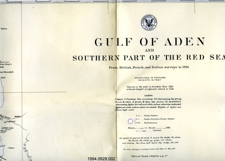
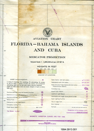
- lettering on logo reads: "HYDROGRAPHIC OFFICE/U.S. NAVY"; lettering on legend reads: "[logo]/NORTH AMERICA/CANADA/BRITISH COLUMBIA/DISCOVERY PASSAGE/AND ADJACENT WATERS/INCLUDING/TOBA, BUTE, AND LOUGHBOROUGH INLETS/From British surveys between 1860 and 1910/and Canadian surveys to 1925/SOUNDINGS IN FATHOMS/reduced approximately to the average level of Lowest Low Water in each calendar month/HEIGHTS IN FEET ABOVE HIGH WATER.....Natural Scale 1:149,705 at Lat. 50 [degrees] 20'/MERCATOR PROJECTION"; lettering along bottom below edge of map reads: "Small corrections/from Notices to Mariners:/from other sources.....Apr. '51/'50-48,52/Washington, D.C., published Feb. 1895 at the Hydrographic Office,/under the authority of the SECRETARY OF THE NAVY./New Publication: 36th Ed. Apr. 1931 36th EDITION, April 1931"; lettering ink stamped on border below map reads: "R.F. BOVEY LTD/530 Burrard St. - MA nne 0271/VANCOUVER, B.C."
- Manque
- S/O
- Fini
- b + w; gray; shallow water in light blue
- Décoration
- U.S. Navy Hydrographic Office logo at top of legend
FAIRE RÉFÉRENCE À CET OBJET
Si vous souhaitez publier de l’information sur cet objet de collection, veuillez indiquer ce qui suit :
U.S. Navy Hydrographic Office, Carte, 1951, Numéro de l'artefact 1992.2878, Ingenium - Musées des sciences et de l'innovation du Canada, http://collection.ingenium.ca/fr/id/1992.2878.001/
RÉTROACTION
Envoyer une question ou un commentaire sur cet artefact.
Plus comme ceci


1992.2878.001