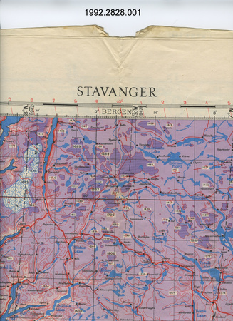
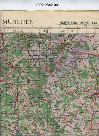
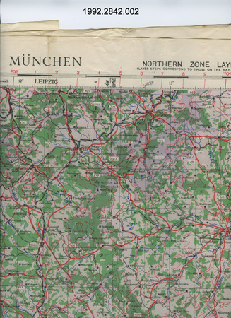
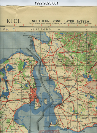
Map
Use this image
Can I reuse this image without permission? Yes
Object images on the Ingenium Collection’s portal have the following Creative Commons license:
Copyright Ingenium / CC BY-NC-ND (Attribution-NonCommercial 4.0 International (CC BY-NC 4.0)
ATTRIBUTE THIS IMAGE
Ingenium,
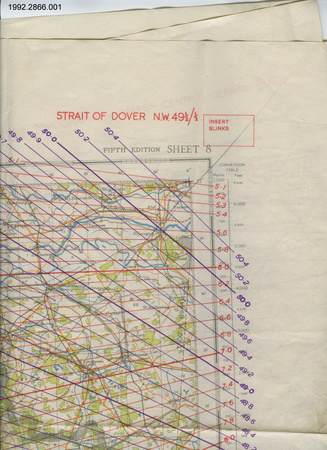
1992.2766.001
Permalink:
Ingenium is releasing this image under the Creative Commons licensing framework, and encourages downloading and reuse for non-commercial purposes. Please acknowledge Ingenium and cite the artifact number.
DOWNLOAD IMAGEPURCHASE THIS IMAGE
This image is free for non-commercial use.
For commercial use, please consult our Reproduction Fees and contact us to purchase the image.
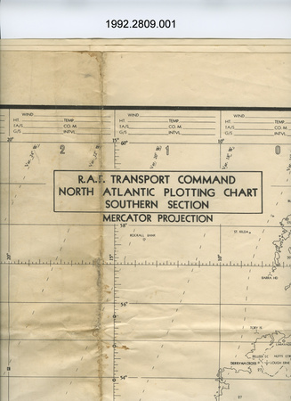
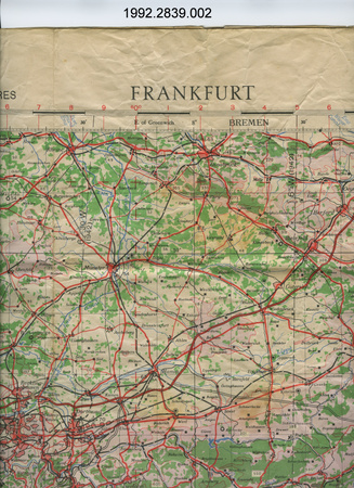
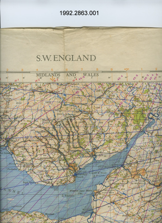
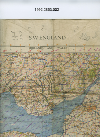
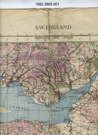
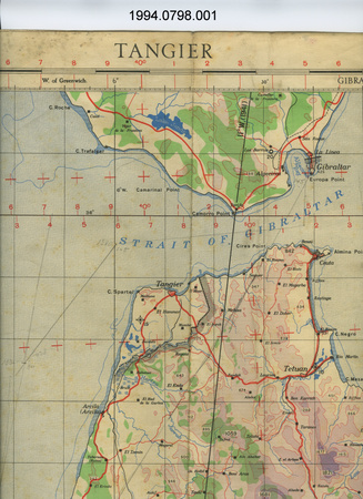
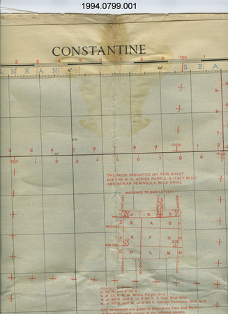
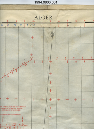
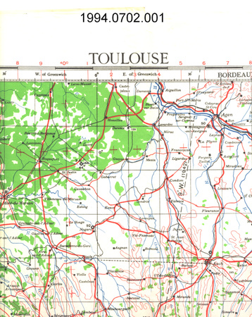
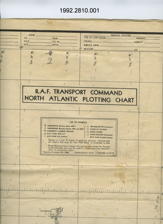
- OBJECT TYPE
- Plotting
- DATE
- 1943
- ARTIFACT NUMBER
- 1992.2766.001
- MANUFACTURER
- Geographical Section, General Staff, War Office
- MODEL
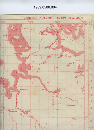
- English Channel
- LOCATION
- England
More Information
General Information
- Serial #
- N/A
- Part Number
- 1
- Total Parts
- 1
- AKA
- N/A
- Patents
- N/A
- General Description
- paper
Dimensions
Note: These reflect the general size for storage and are not necessarily representative of the object's true dimensions.
- Length
- 107.0 cm
- Width
- 79.2 cm
- Height
- N/A
- Thickness
- N/A
- Weight
- N/A
- Diameter
- N/A
- Volume
- N/A
Lexicon
- Group
- Aviation
- Category
- Navigation instruments & equipment
- Sub-Category
- N/A
Manufacturer
- AKA
- Defence UK
- Country
- England
- State/Province
- Unknown
- City
- Unknown
Context
- Country
- Europe
- State/Province
- Unknown
- Period
- donor-user took part in training flights May - Aug. 1944 & operational flights Aug. 25, 1944 - Jan. 13, 1945
- Canada
-
many Canadians served in RCAF squadrons attached to RAF commands during WWII - Function
-
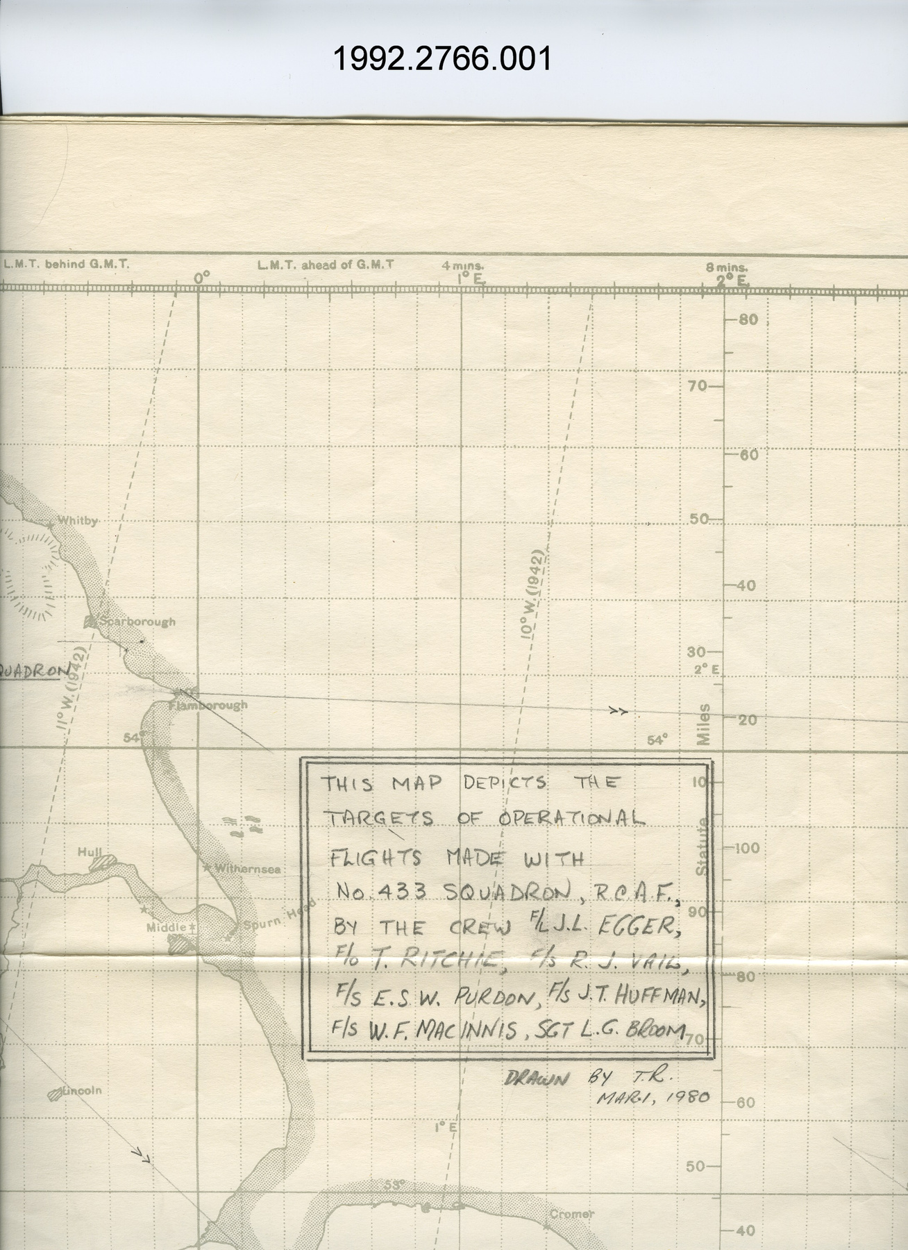
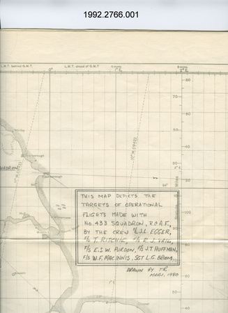
to indicate targets of operational flights by user-donor with with RCAF No. 433 Squadron as documented in navigational logs (1992.2768) - Technical
-
Unknown - Area Notes
-
Unknown
Details
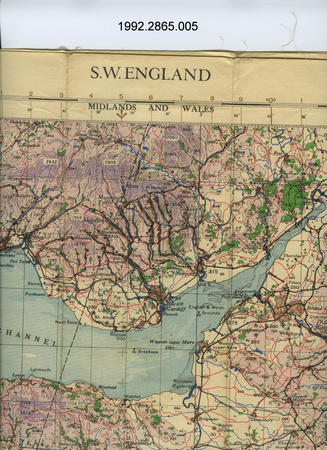
- Markings
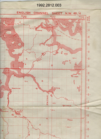
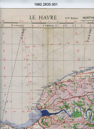
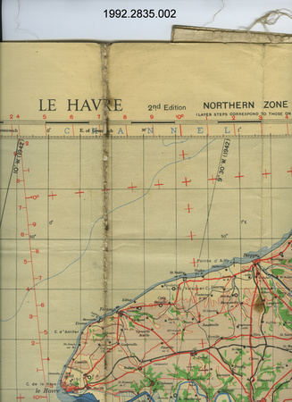
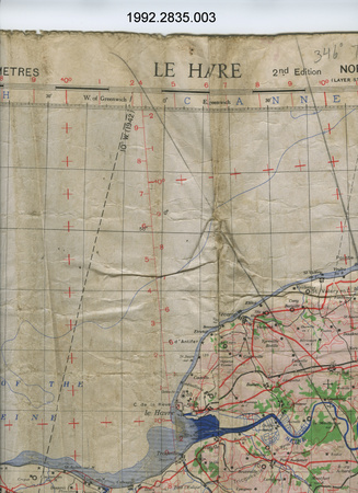
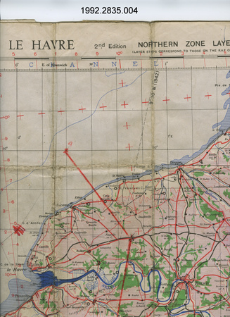
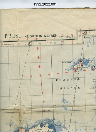
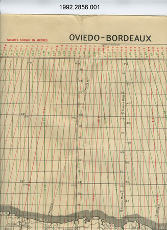
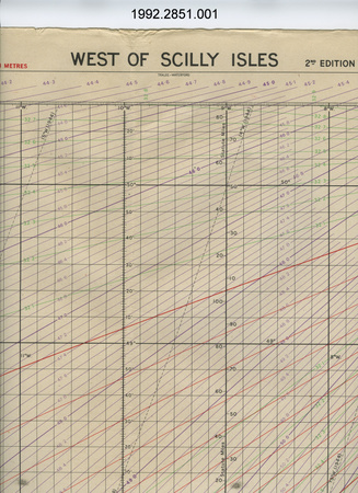
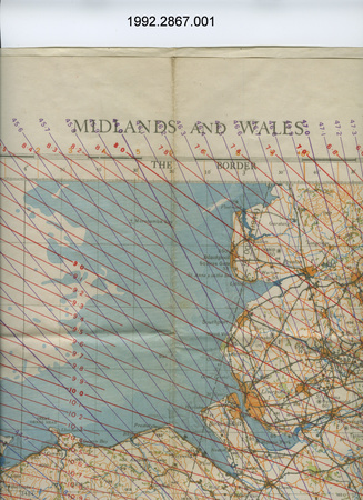
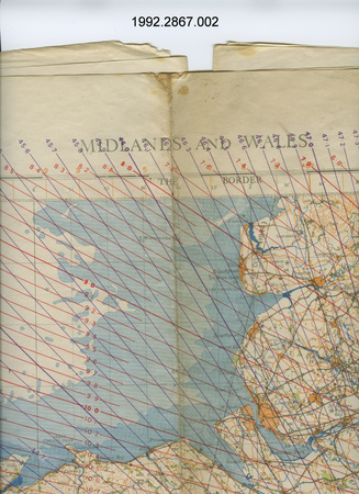
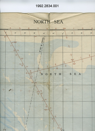
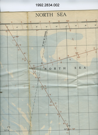
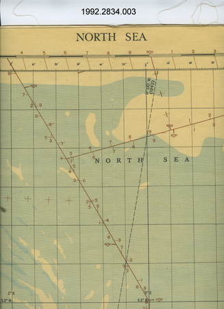
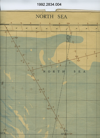
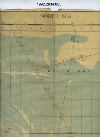
- lettering above top reads: "PLOTTING SERIES ENGLISH CHANNEL SHEET N.W. 48/4"; lettering below bottom border reads: "Geographical Section, General Staff No. 4080 War Office, 1941. 5th Edition 1943. MERCATOR PROJECTION SCALE 1:1,000,000 AT 56 (DEGREES) N. HEIGHTS SHOWN IN METRES Reproduced and printed at the Hydrographic and Map Service, Labelle Building, Ottawa, 1943 Drawn and Heliographed at G.S. 1941"; ledgend hand printed in pencil reads: "THIS MAP DEPICTS THE/TARGETS OF OPERATIONAL/FLIGHTS MADE WITH/No. 433 SQUADRON, R.C.A.F.,/BY THE CREW OF F/L J.L. EGGER,/F/O T. RITCHIE, F/S R.J. VAIL,/ F/S/ E.S.W. PURDON, F/S/ J.T. HUFFMAN,/ F/S/ W.F. MACINNIS, SGT. L.G. BROOM/DRAWN BY T.R./MAR.1, 1980"
- Missing
- N/A
- Finish
- b + w
- Decoration
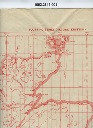
- map of English channel with England & continental Europe on either side; hand drawn ledgend, plotting lines & locations
CITE THIS OBJECT
If you choose to share our information about this collection object, please cite:
Geographical Section, General Staff, War Office, Map, 1943, Artifact no. 1992.2766, Ingenium – Canada’s Museums of Science and Innovation, http://collection.ingenium.ca/en/id/1992.2766.001/
FEEDBACK
Submit a question or comment about this artifact.
More Like This

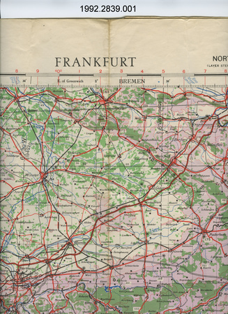
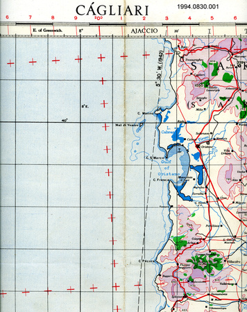
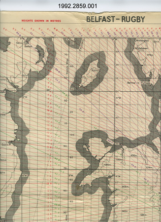
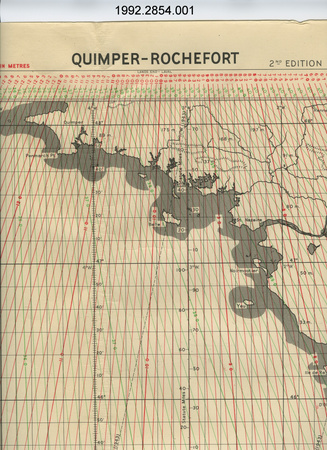


1992.2766.001