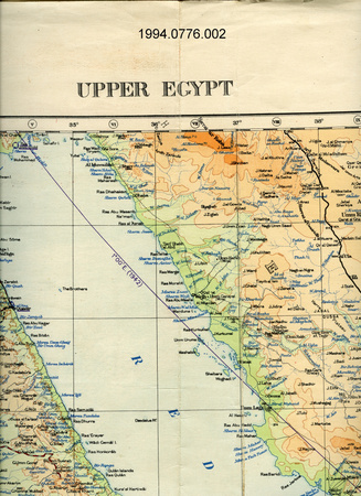
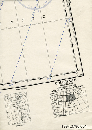
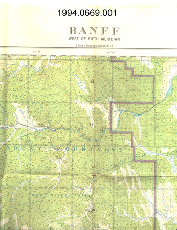
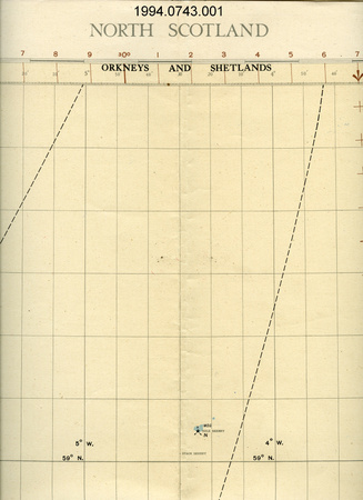
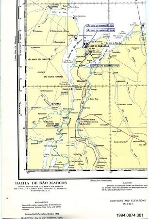
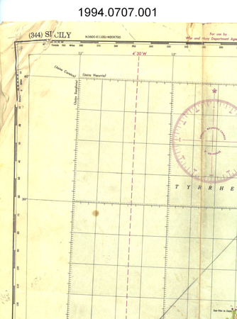
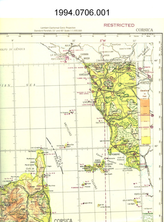
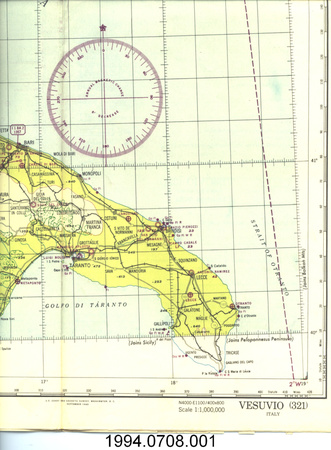
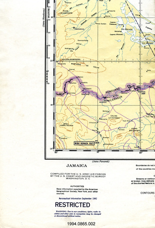
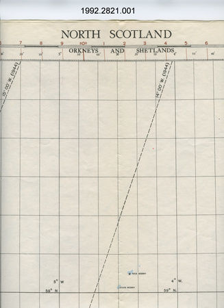
Map collection

Use this image
Can I reuse this image without permission? Yes
Object images on the Ingenium Collection’s portal have the following Creative Commons license:
Copyright Ingenium / CC BY-NC-ND (Attribution-NonCommercial 4.0 International (CC BY-NC 4.0)
ATTRIBUTE THIS IMAGE
Ingenium,
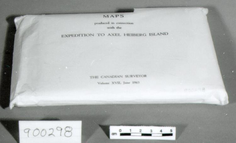
1990.0298.001
Permalink:
Ingenium is releasing this image under the Creative Commons licensing framework, and encourages downloading and reuse for non-commercial purposes. Please acknowledge Ingenium and cite the artifact number.
DOWNLOAD IMAGEPURCHASE THIS IMAGE
This image is free for non-commercial use.
For commercial use, please consult our Reproduction Fees and contact us to purchase the image.
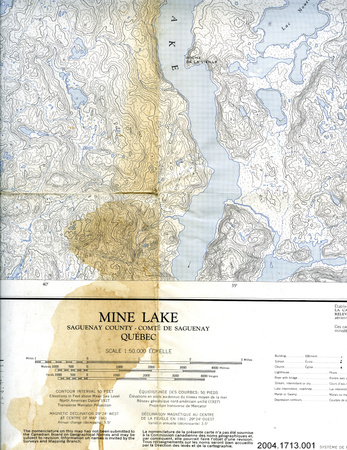
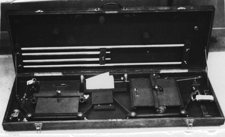
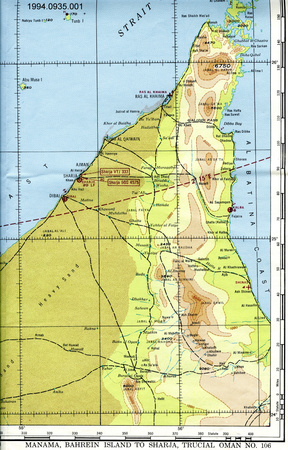
- OBJECT TYPE
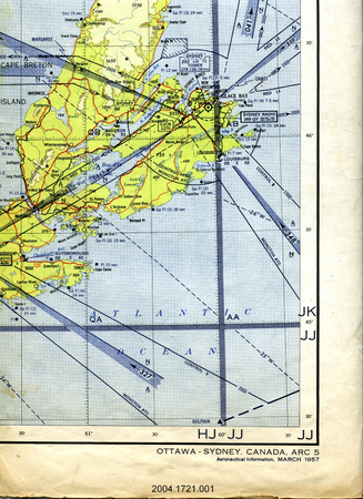
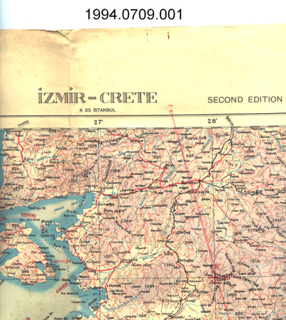
- 1:50,000
- DATE
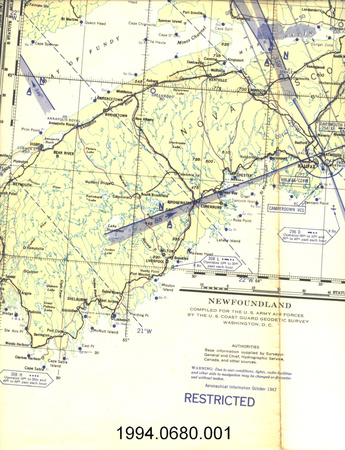
- 1962
- ARTIFACT NUMBER
- 1990.0298.001
- MANUFACTURER
- Army Survey Establishment
- MODEL
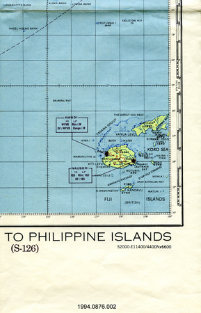
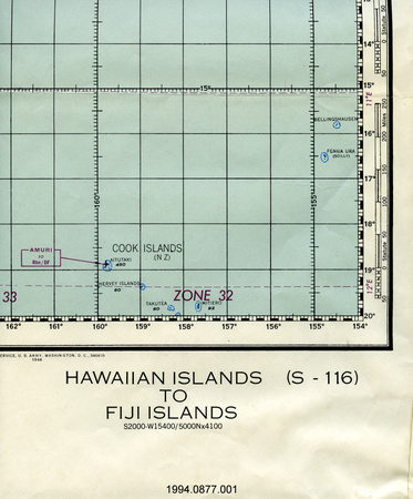
- AXEL HEIBERG ISLAND
- LOCATION
- Canada
More Information
General Information
- Serial #
- N/A
- Part Number
- 1
- Total Parts
- 1
- AKA
- N/A
- Patents
- N/A
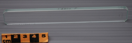
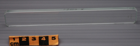
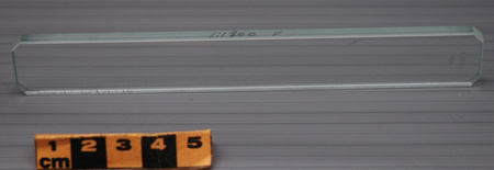
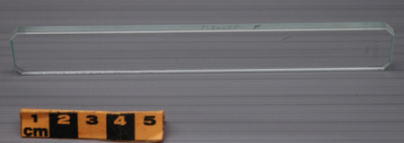
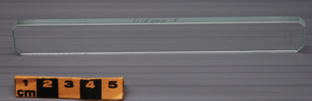
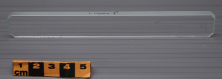
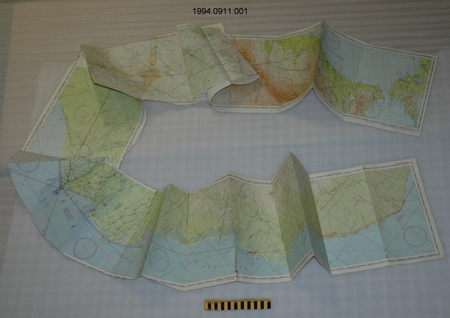
- General Description
- PAPER
Dimensions
Note: These reflect the general size for storage and are not necessarily representative of the object's true dimensions.
- Length
- 23.0 cm
- Width
- 14.0 cm
- Height
- 2.0 cm
- Thickness
- N/A
- Weight
- N/A
- Diameter
- N/A
- Volume
- N/A
Lexicon
- Group
- Exploration and Survey
- Category
- Archives
- Sub-Category
- N/A
Manufacturer
- AKA
- Defence CA
- Country
- Canada
- State/Province
- Unknown
- City
- Unknown
Context
- Country
- Canada
- State/Province
- Unknown
- Period
- 1960S
- Canada
-
MAPS DEPICT PART OF CANADA AND WERE PRODUCED BY CANADIAN RESEARCHERS FROM NRC AND MCGILL - Function
-
MAPS DEPICT THE CONDITION OF GLACIATION, SHORELINES AND WATER LEVELS AS OF DATE OF FLIGHTS (FLIGHTS IN 1959) FOR THE AREAS OF AXEL HEIBERG ISLAND COVERED. - Technical
-
EXAMPLE OF MAPS PRODUCED BY USING AERIAL PHOTOGRAPHY AND PHOTOGRAMMETRIC PLOTTING - Area Notes
-
Unknown
Details
- Markings
- ENVELOPE: 'MAPS/ produced in connection/ with the/ EXPEDITION TO AXEL HEIBERG ISLAND/ THE CANADIAN SURVEYOR/ Volume XVII, June 1963'/ TITLES OF MAPS: 'THOMPSON GLACIER REGION/ AXEL HEIBERG ISLAND, N.W.T., CANADA' 'WHITE GLACIER[SAME AS ABOVE]/ CANADIAN ARCTICE ARCHIPELAGO' 'THOMSON GLACIER SNOUT [SAME AS ABOVE]'/ OTHER PRINTING INCLUDES: 'PRODUCED BY/ PHOTOGRAMMETRIC RESEARCH STATION/ OF THE/ NATIONAL RESEARCH COUNCIL OF CANADA/ in conjunction with the/ AXEL HEIBERG ISLAND EXPEDITION/ OF McGILL UNIVERSITY/ REPRODUCED BY THE ARMY SURVEY ESTABLISHMENT, R.C.E. 1962/ The map was compiled from vertical aerial photographs/ taken...1959.*
- Missing
- N/A
- Finish
- MULTI-COLOUR PRINTING
- Decoration
- N/A
CITE THIS OBJECT
If you choose to share our information about this collection object, please cite:
Army Survey Establishment, Map collection, 1962, Artifact no. 1990.0298, Ingenium – Canada’s Museums of Science and Innovation, http://collection.ingenium.ca/en/id/1990.0298.001/
FEEDBACK
Submit a question or comment about this artifact.
More Like This


1990.0298.001