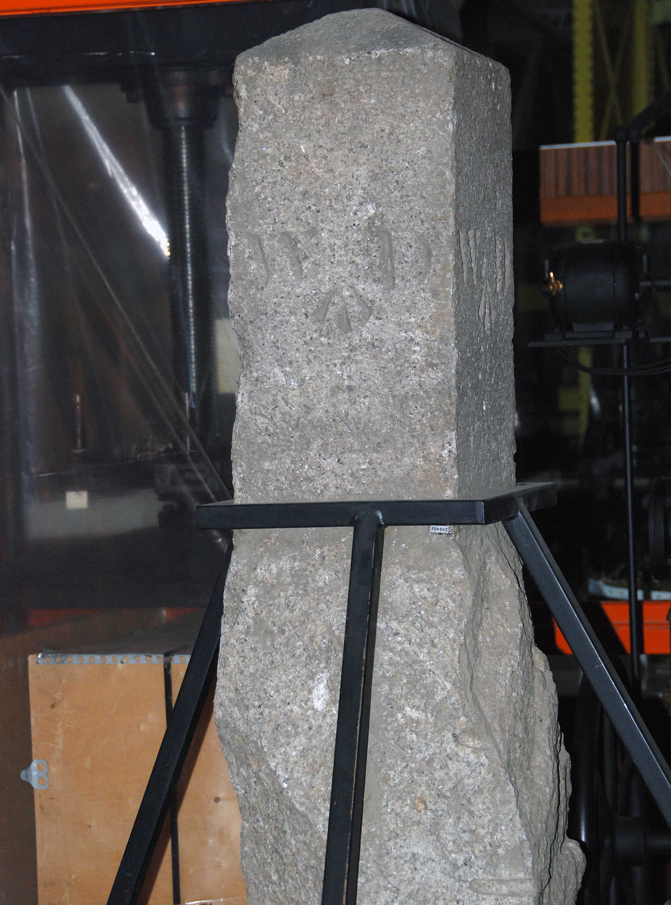
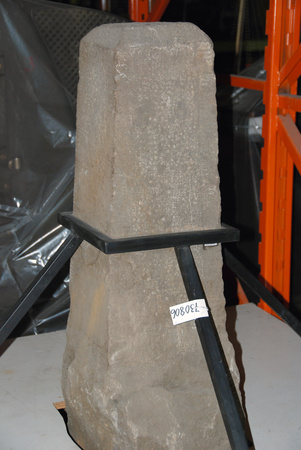
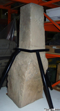
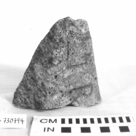
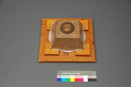
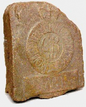
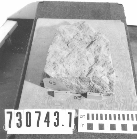
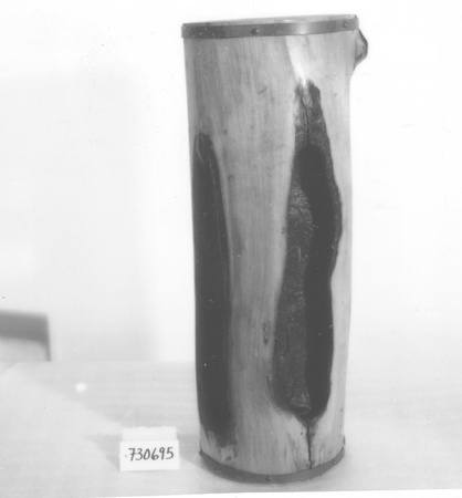
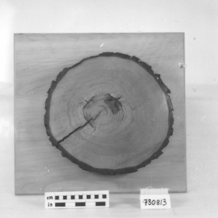
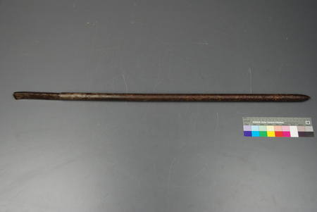
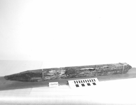
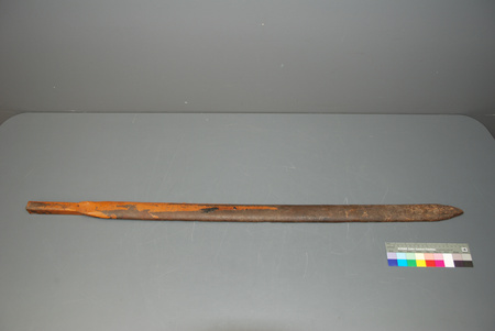
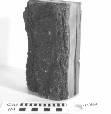
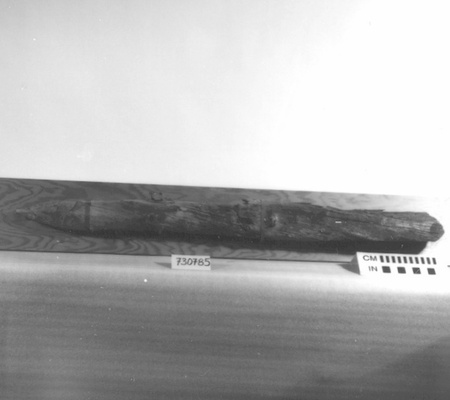
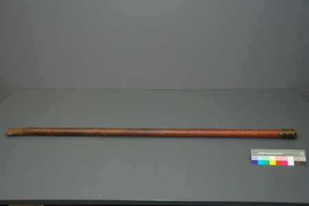
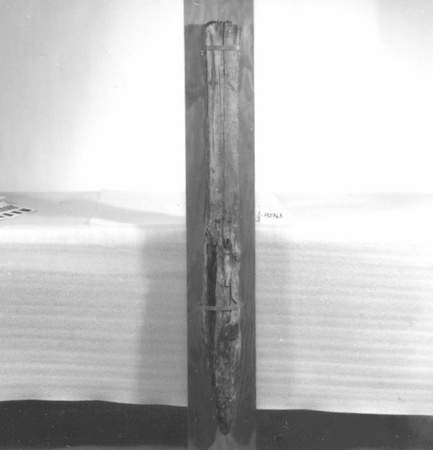
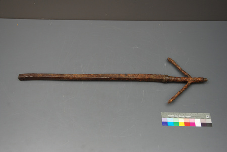
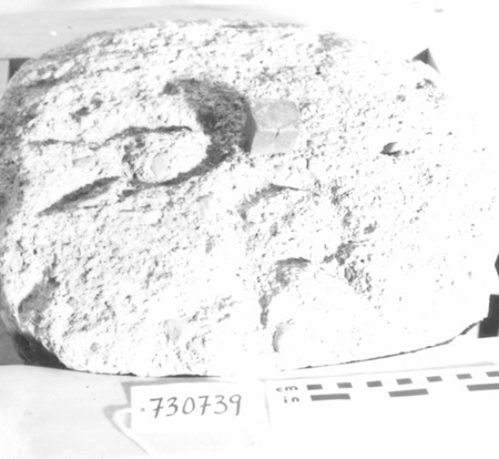
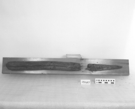
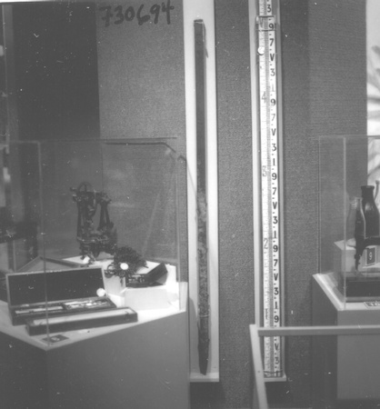
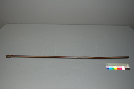
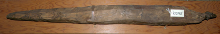
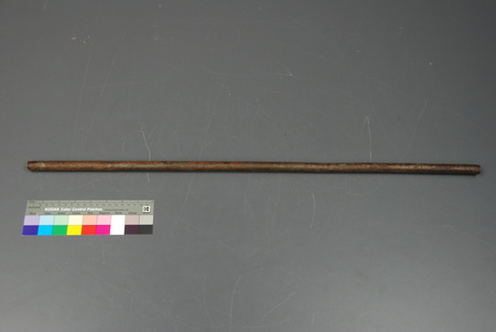
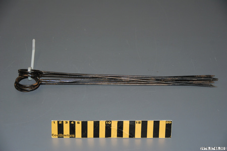
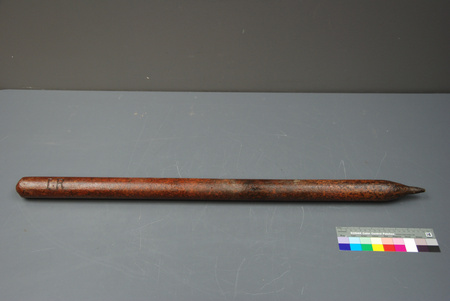
Marker, survey

Use this image
Can I reuse this image without permission? Yes
Object images on the Ingenium Collection’s portal have the following Creative Commons license:
Copyright Ingenium / CC BY-NC-ND (Attribution-NonCommercial 4.0 International (CC BY-NC 4.0)
ATTRIBUTE THIS IMAGE
Ingenium,
1973.0805.001
Permalink:
Ingenium is releasing this image under the Creative Commons licensing framework, and encourages downloading and reuse for non-commercial purposes. Please acknowledge Ingenium and cite the artifact number.
DOWNLOAD IMAGEPURCHASE THIS IMAGE
This image is free for non-commercial use.
For commercial use, please consult our Reproduction Fees and contact us to purchase the image.
- OBJECT TYPE
- MONUMENT/STONE/BOUNDARY
- DATE
- 1858
- ARTIFACT NUMBER
- 1973.0805.001
- MANUFACTURER
- Unknown
- MODEL
- Unknown
- LOCATION
- Unknown
More Information
General Information
- Serial #
- N/A
- Part Number
- 1
- Total Parts
- 1
- AKA
- N/A
- Patents
- N/A
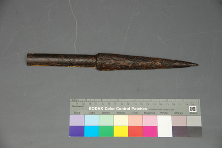
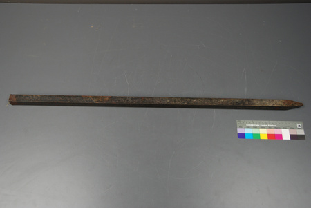
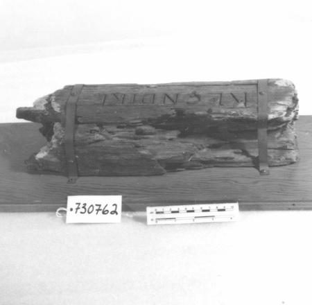
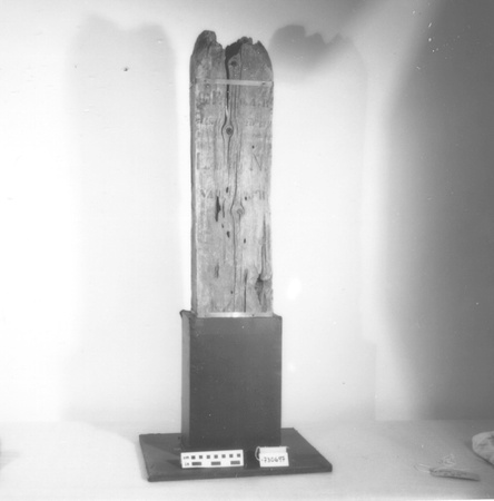
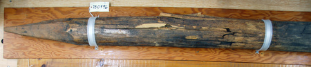
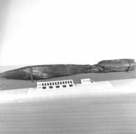
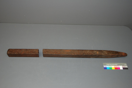
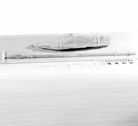
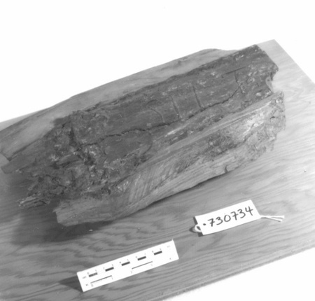
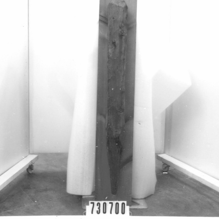
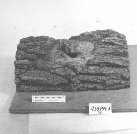
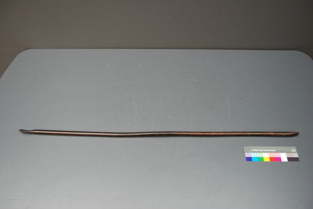
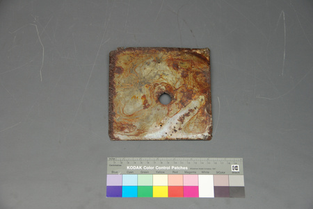
- General Description
- GRANITE MARKER RESTS ON WOODEN BASE, & IS SUPPORTED BY METAL FRAME
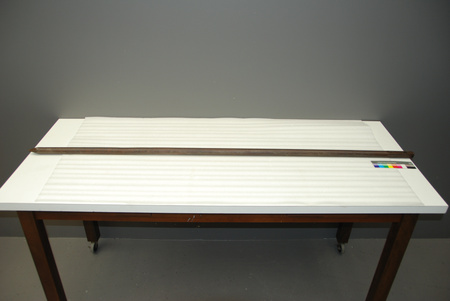
Dimensions
Note: These reflect the general size for storage and are not necessarily representative of the object's true dimensions.
- Length
- 126.7 cm
- Width
- 126.0 cm
- Height
- 180.0 cm
- Thickness
- N/A
- Weight
- 651.0
- Diameter
- N/A
- Volume
- N/A
Lexicon
- Group
- Exploration and Survey
- Category
- Landmarks
- Sub-Category
- N/A
Manufacturer
- AKA
- Unknown
- Country
- Unknown
- State/Province
- Unknown
- City
- Unknown
Context
- Country
- Canada
- State/Province
- Nova Scotia
- Period
- C.1858-1965
- Canada
-
LAND NOW KNOWN AS POINT PLEASANT PARK SOLD BY HEIRS OF JOHNATHON STERNS TO KING GEORGE III ON JUNE 18, 1798. ON FEB. 8, 1858 THISPROPERTY WAS GRANTED TO SECRETARY OF WAR (GREAT BRITAIN) BY DEPT. OF CROWN LANDS IN HALIFAX. GRANT SKETCH SHOWS MARKERS. PERAMBULATION PLAN OF WAR DEPT. PROPERTY (1895) LISTS STONE AS WD VI. - Function
-
TO MARK & IDENTIFY A SPECIFIC SITE ON THE BOUNDARY LINE OF A SURVEYED AREA - Technical
-
INTERESTING EXAMPLE OF MARKER DATING PRE-CONFEDERATION. PART OF CDN LANDMARKS COLLECTION, EST'D IN 1952 BY R.W. CLARK, D.L.S., S.L.S. THESE MARKERS SPAN OVER 200 YRS. OF CANADIAN SURVEYING & INCLUDE ITEMS FROM EVERY PROVINCE & TERRITORY EXCEPT NFLD. - Area Notes
-
Unknown
Details
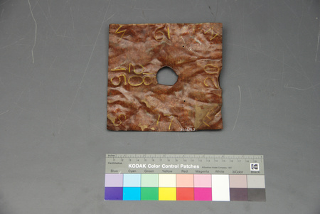
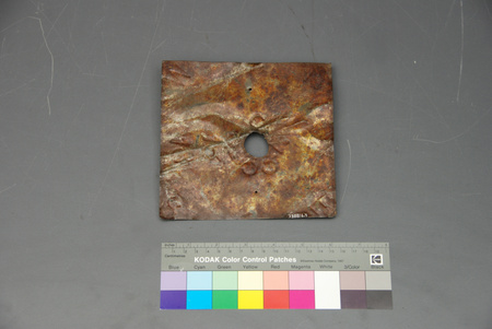
- Markings
- `W [UP-ARROW SYMBOL] O' DEEPLY INCISED ON 3 SIDES OF SQUARED STONE COLUMN; `W [UP-ARROW SYMBOL] D/ No 6' CUT INTO 4TH SIDE. ROW OF REGULARLY SPACED GROOVES CUT ALONG TWO CORNER EDGES OF LOWER HALF OF MONUMENT
- Missing
- NONE From CA of 02/24/1994 by Tony Missio: No - Complete
- Finish
- ROUGH GREY STONE WITH GREY FLECK HAS BEEN CUT & DRESSED, DISPLAY BASE PAINTED WHITE. STONE PILLAR SUPPORTED BY BLACK METAL FRAME
- Decoration
- N/A
CITE THIS OBJECT
If you choose to share our information about this collection object, please cite:
Unknown Manufacturer, Marker, survey, before 1858, Artifact no. 1973.0805, Ingenium – Canada’s Museums of Science and Innovation, http://collection.ingenium.ca/en/id/1973.0805.001/
FEEDBACK
Submit a question or comment about this artifact.
More Like This


1973.0805.001